 |
||
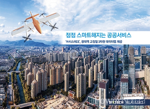
Drone industry in South Korea is growing its volume in unprecedented speed. The government has announced to pour 1 trillion won ($769 million) in the sector until 2025. Drones are used in many areas such as mapping, agriculture, marine environment and engineering where human hands and labor are not possible to reach or perform.
The government, central or local, in particular is using drones for topographic survey, cadastral resurvey and accumulation of public data for the use of protecting property rights and of providing better public services.
Talking of drones in South Korea, Sistech cannot be missed for its advanced drone technologies and services. The company’s data mapping technology is well known and praised for using high precision 3 dimensional broadband data modeling. Its capability has been recognized and proved by taking numerous government projects and R&D.
 |
K-Mapper F1, the flagship drone of Sistech, flies for 3 consecutive hours. It flies 150km at one take-off and films around 30km² areas. 10 of K-Mapper F1 is currently in use. It gives a truly wowing performance considering that a normal drone can flies around 50 minutes and films around 2.5km² areas at one take-off. Calculating this into number of drones, one K-Mapper F1 alone does the job of around 60 normal drones.
“If you use 4 of K-Mapper F1 simultaneously, you can film around 10,000ha a day. In other words, you can film the whole city of Siheung in 50 minutes and make the data in 2 to 3 days” explains CEO Sungjin Park.
To prove it, 4 of K-Mapper F1 filmed the 150km long highway to and fro Iksan and Pyeongtaek in 2021 and built the data and the map in 5 days. Other similar examples include the outer ring road of Daegu, Anseong JC construction, Taebaek and Samcheok high altitude crop fields survey, and carbon dioxide data around Daegwallyeong Tunnels. The last project especially involved 3 times flights of K-Mapper F1, 15,000 image shots and a 3 dimensional image processing.
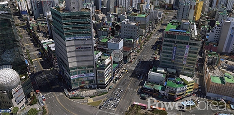
“Our pre-processing technology minimizes post-processing during which it finds only the necessary images for the final 3D imaging result. It increases speed to the result significantly faster than normal drones on the market. I can dare say that our quality data collection and imaging processing technologies are what drive us our business ahead of our competitors. Filming Gangnam District, Seoul, takes only one and a half hours and making it into a data only within 2 or no more than 3 days” emphasizes Park.
Compared to the S-MAP of Seoul and V-WORLD of the Ministry of Land, Infrastructure and Transport, Sistech’s K-Mapper F1 is far more efficient and better performing in terms of realistic imaging, hassle-free and cost-effectiveness. Take one example: K-Mapper F1 gives bear eye-like clean and clear shots of the texts of the signboards of a building and even gives information of the size of them, the height of the building, the distance between the buildings and even the sunshine level of each floor of the building.
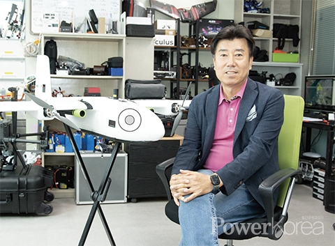 |
| ▲ Sistech / CEO Sungjin Park |
The use of drones are many and various. More and more sectors of industry are in need of this high tech imaging solutions from land and buildings to engineering and tourism.
Now, you might wonder how much a project can cost. If you wish to film an area similar to Gangnam District (39.55km²) including its final images, it will cost you around 100 million won ($77,000 USD).
Recently chosen as a High Seoul Brand, the expert team of Sistech is ambitious to make their name known at the CES 2023.<PowerKorea>
신태섭 기자 tss79@naver.com


